www.geodatenkatalog.de (S2F)
Search
Map
Sign in
Keyword
national boundary
17 record(s)
Provided by
BKG-InGrid
(17)
Type of resources
Service
(15)
service-download
(8)
service-view
(7)
Dataset
(2)
Available actions
Viewable
(8)
Topics
Imagery base maps earth cover
(2)
Keywords
national boundary
(17)
municipality
(14)
county
(14)
administration
(14)
forest
(3)
road
(3)
motorway
(3)
bridge
(3)
sluice
(3)
excavation side
(3)
railway
(3)
opencast mining
(3)
river
(3)
heathland
(3)
glacier
(3)
Update frequencies
Annually
(15)
Irregular
(1)
Not planned
(1)
Service types
Download
(8)
view
(7)
From
1
-
10
/
17
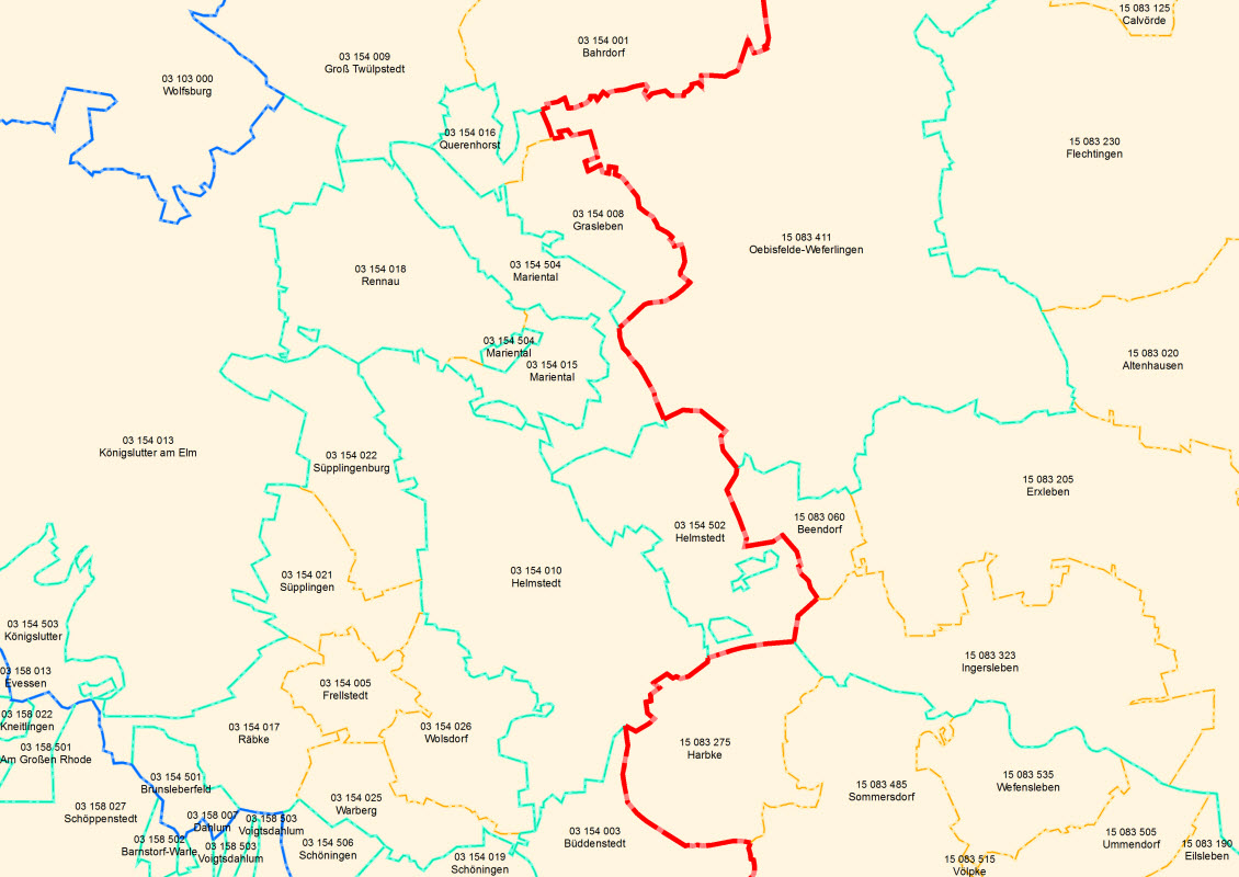
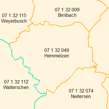
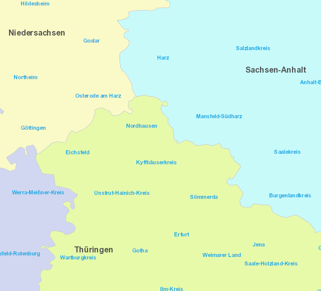
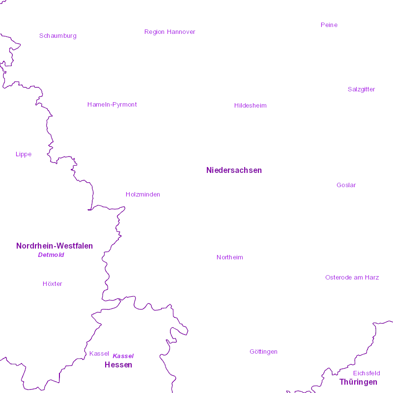
WFS Verwaltungsgebiete 1:250 000 mit Einwohnerzahlen - Stand 31.12.
WFS Verwaltungsgebiete 1:25 000 - Stand 31.12.
WFS Verwaltungsgebiete 1:2 500 000 - Stand 31.12.
WMS Verwaltungsgebiete 1:5 000 000 - Stand 01.01.
WMS Verwaltungsgebiete 1:25 000 - Stand 31.12.
WMS Verwaltungsgebiete 1:250 000 mit Einwohnerzahlen - Stand 31.12.
WMS Verwaltungsgebiete 1:5 000 000 - Stand 31.12.
WMS Verwaltungsgebiete 1:2 500 000 - Stand 31.12.
WMS Verwaltungsgebiete 1:250 000 - Stand 01.01.
WMS Verwaltungsgebiete 1:1 000 000 - Stand 31.12.
About
Github
Barrierefreiheit
|
Datenschutz
|
Impressum
✕
 www.geodatenkatalog.de (S2F)