Keyword
Epizentrum
8 record(s)
Provided by
Type of resources
Available actions
Topics
Keywords
Contact for the resource
Update frequencies
Service types
-

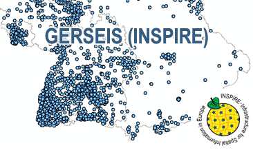
The WMS GERSEIS (INSPIRE) represents the seismological events of the German Earthquake Catalogue which is based on a database providing information on the seismicity in Germany and adjacent areas. It contains locations of seismic events since year 800 where their epicentre determinations are based on historical sources as well as on measurements at seismometer stations since the start of instrumental seismological recording in the 20th century. Today, digital data acquisition at seismometer stations of the German regional seismic network (GRSN), the seismic GERES array, and the Gräfenberg array (GRF) takes place. All events with a local magnitude ML 2.0 and higher are listed. Due to the continuous processing of the seismic events, the INSPIRE dataset is updated annually. The WMS GERSEIS (INSPIRE) contains a layer of the seismological events (NZ.ObservedEvent) displayed correspondingly to the INSPIRE portrayal rules. Via the getFeatureInfo request the user obtains the content of the INSPIRE attributes unitsOfMeasure, qualitativeValue, quantitativeValue, validFrom and intensityScale (short name of citation of the intensity scale).
-

The German Earthquake Catalogue is based on a database providing information on the seismicity in Germany an adjacent areas. It contains locations of seismic events since year 800 where their epicentre determinations are based on historical sources as well as on measurements at seismometer stations since the start of instrumental seismological recording in the 20th century. Today, digital data acquisition at seismometer stations of the German regional seismic network (GRSN), the seismic GERES array, and the Gräfenberg array (GRF) takes place. All events with a local magnitude ML 2.0 and higher are listed. The GML file together with a Readme.txt file are provided in ZIP format (GERSEIS-INSPIRE.zip). The Readme.text file (German/English) contains detailed information on the GML file content. Data transformation was proceeded by using the INSPIRE Solution Pack for FME according to the INSPIRE requirements. Due to the continuous processing of the seismic events, the INSPIRE dataset is updated annually.
-

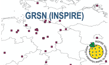
The WMS GRSN (INSPIRE) represents the seismological stations of the German Regional Seismic Network (GRSN) equipped with 3-component broadband seismometer and digital data aquisition system. The recorded data are directly transmitted to the data center at BGR in Hannover and made available to the public near realtime. According to the Data Specification on Geology (D2.8.II.4_v3.0, subtopic Geophysics) the information with respect to the seismological stations is INSPIRE-compliant. The WMS GRSN (INSPIRE) contains a layer of the seismological stations (GE.seismologicalStation) displayed correspondingly to the INSPIRE portrayal rules. Via the getFeatureInfo request the user obtains the content of the INSPIRE attributes platformType, relatedNetwork, stationType und stationRank.
-

The German Regional Seismic Network (GRSN) consists of seismological stations equipped with 3-component broadband seismometer and digital data aquisition system. The recorded data are directly transmitted to the data center at BGR Hannover and made available to the public near realtime. The GML file together with a Readme.txt file are provided in ZIP format (GRSN-INSPIRE.zip). The Readme.text file (German/English) contains detailed information on the GML file content. Data transformation was proceeded by using the INSPIRE Solution Pack for FME according to the INSPIRE requirements.
-

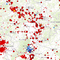
This Web Map Service (WMS) is based on a database providing information on the seismicity in Germany an adjacent areas. It contains locations of seismic events since 800; whereat their epicentre determinations are based on historical sources as well as on measurements of seismometer stations since the start of instrumental seismological recording in the 20th century. Today, digital data acquisition at seismometer stations of the German regional seismic network (GRSN), the seismic GERES array, and the Gräfenberg array (GRF),enables along with near real time data transmission of recorded seismometer data to the seismological central observatory at BGR, the immediate detection and analysis of seismic events, and their provision to the WMS. All events with a local magnitude ML 2.0 and higher are shown. The epicentre determination is initially carried out by an automatic processing procedure. Such a procedure might result - occasionally - inerroneous epicentre estimates and overestimated magnitudes. Therefore results obtained by the automatic procedure routinely post-processed by a manual and inter-active analysis on the following labour day.
-

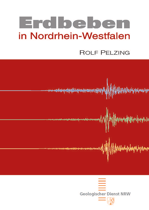
Auf 42 reich bebilderten Seiten wird zunächst ein allgemeiner Überblick über Erdbeben und ihre Dynamik gegeben, wo und warum sie entstehen und wie sie erfasst werden. Der zweite Teil widmet sich speziell den Erdbeben in Nordrhein-Westfalen. Die Niederrheinische Bucht ist das aktivste Erdbebengebiet in Westdeutschland und gleichzeitig ein dicht besiedelter industrieller Ballungsraum. Um Wohngebäude und Industrieanlagen erdbebensicher bauen zu können, muss bekannt sein, wo Erdbeben mit welcher Stärke auftreten können. Einen Beitrag dazu leistet der Geologische Dienst NRW mit seinem Erdbebenüberwachungsnetz und den Untersuchungen von historischen Bebenereignissen, sogenannten Paläobeben. Das Heft bietet in knapper und allgemeinverständlicher Form eine Einführung in die Erdbebenthematik mit Schwerpunkt auf den seismischen Ereignissen in NRW. [2008. 42 S., 19 Abb., 1 Tab.; ISBN 978-3-86029-971-5]
-
Das Seismologische Zentralobservatorium der BGR betreibt drei seismologische Stationsnetze (sog. Arrays) in Deutschland. Um Störeinflüsse auf die äußerst sensible Messtechnik der seismologischen Stationen auszuschließen, liegen bezüglich der Windenergienutzung gewisse Restriktionen vor.
-

This Web Map Service (WMS) is based on a database providing information on the seismicity in Germany an adjacent areas. It contains locations of seismic events since 800; whereat their epicentre determinations are based on historical sources as well as on measurements of seismometer stations since the start of instrumental seismological recording in the 20th century. Today, digital data acquisition at seismometer stations of the German regional seismic network (GRSN), the seismic GERES array, and the Gräfenberg array (GRF),enables along with near real time data transmission of recorded seismometer data to the seismological central observatory at BGR, the immediate detection and analysis of seismic events, and their provision to the WMS. All events with a local magnitude ML 2.0 and higher are shown. The epicentre determination is initially carried out by an automatic processing procedure. Such a procedure might result - occasionally - inerroneous epicentre estimates and overestimated magnitudes. Therefore results obtained by the automatic procedure routinely post-processed by a manual and inter-active analysis on the following labour day.
 www.geodatenkatalog.de (S1L)