 My GeoNetwork catalogue
Level 2A
Provided by
Type of resources
Available actions
Topics
Keywords
Contact for the resource
Update frequencies
-
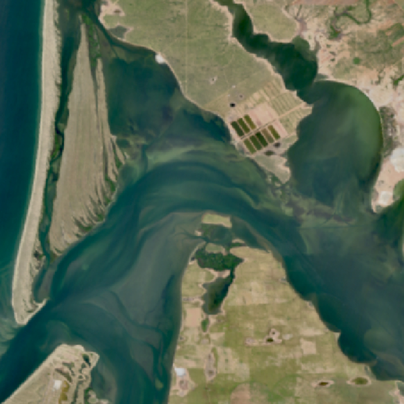
The EnMAP HSI L2A dataset collection comprises a standardized, consistent, systematically processed, and cloud-native level-2A dataset series for the entire mission. It is especially useful for big data or time series analyses. The dataset is processed with the atmospheric correction over land processor and is provided in cloud-optimized GeoTIFF format for direct access and download. The metadata follows the CEOS Analysis Ready Data (CEOS-ARD) framework. The database is constantly updated with newly acquired data. The Environmental Mapping and Analysis Program (EnMAP) is a German hyperspectral satellite mission that monitors and characterizes Earth’s environment on a global scale. EnMAP delivers accurate data that provides information on the status and evolution of terrestrial and aquatic ecosystems, supporting environmental monitoring, management, and decision-making. For more information, please see the mission website: https://www.enmap.org/mission/
-
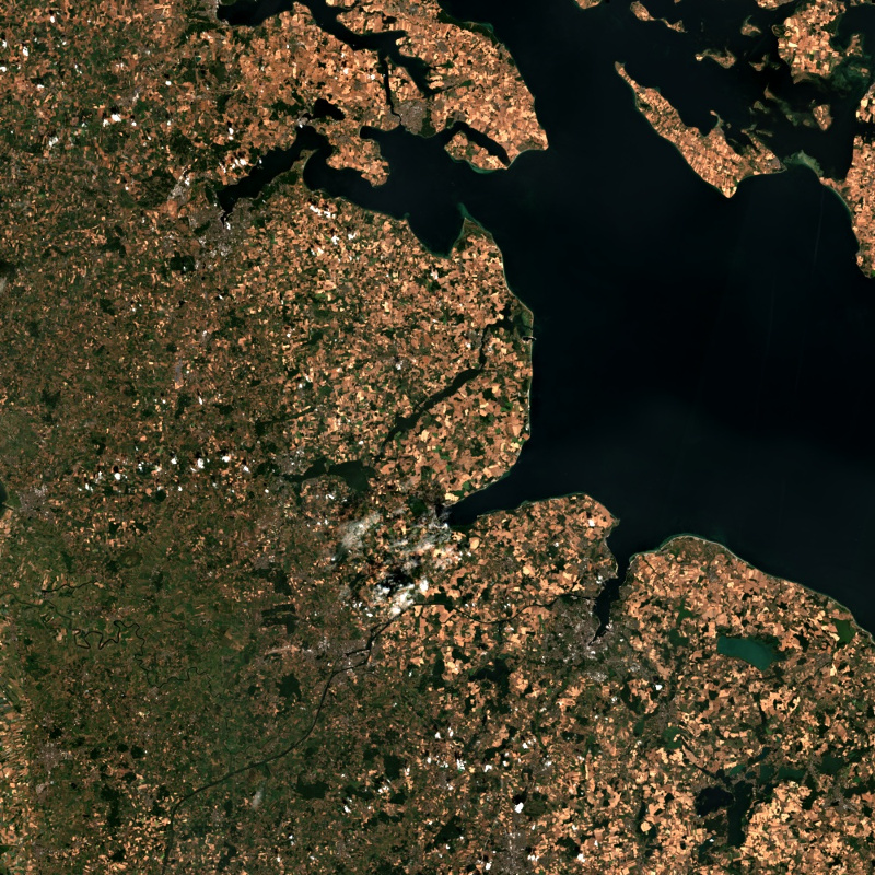
This collection contains Sentinel-2 Level 2A surface reflectances, which are computed for the country of Germany using the time-series based MAJA processor. During the Level 2A processing, the data are corrected for atmospheric effects and clouds and their shadows are detected. The MAJA L2A product is available online for the last 12 months. Further data are kept in the archive and are available upon request. Please see https://logiciels.cnes.fr/en/content/maja for additional information on the MAJA product. The MAJA product offers an alternative to the official ESA L2A product and has been processed with consideration of the characteristics of the Sentinel-2 mission (fast collection of time series, constant sensor perspective, and global coverage). Assumptions about the temporal constancy of the ground cover are taken into account for a robust detection of clouds and a more flexible determination of aerosol properties. As a result, an improved determination of the reflectance of sunlight at the earth's surface (pixel values of the multispectral image) is derived. Further Sentinel-2 Level 2A data computed using MAJA are available on the following website: https://theia.cnes.fr