www.geodatenkatalog.de (S1L)
Search
Map
Sign in
Keyword
altitude
141 record(s)
Provided by
DWD
(130)
Sachsen-Anhalt
(2)
BKG-InGrid
(8)
Nordrhein-Westfalen
(1)
Type of resources
Dataset
(139)
Service
(2)
service-download
(2)
Available actions
Viewable
(4)
Topics
Climatology, meteorology, atmosphere
(130)
Elevation
(7)
Imagery base maps earth cover
(3)
Structure
(2)
Keywords
altitude
(141)
Climatology, meteorology, atmosphere
(130)
temperature
(130)
Meteorological geographical features
(130)
humidity
(130)
meteorology
(130)
GlobalExchange
(130)
sounding
(130)
pressure
(130)
wind
(130)
geopotential
(130)
balloon
(130)
shear
(130)
upper
(130)
vertical
(130)
Contact for the resource
Deutscher Wetterdienst
(130)
NC Latvia
(2)
Update frequencies
Continual
(131)
Annually
(5)
As needed
(2)
Biannually
(2)
Service types
Download
(2)
From
1
-
10
/
141
WCS ST DGM1
WCS ST DOM1
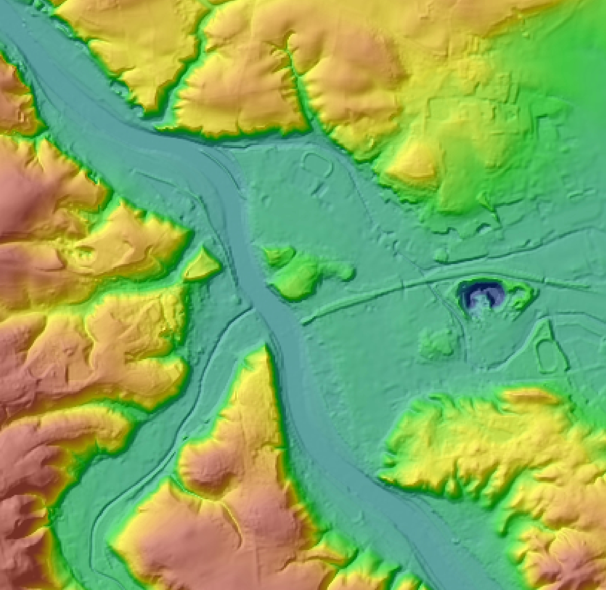
Digitales Geländemodell Gitterweite 50 m
Digitales Geländemodell Gitterweite 25 m
Quasigeoid 2016 der Bundesrepublik Deutschland (Aktualisierung 2023)
Digitales Geländemodell Gitterweite 10 m
Digitales Geländemodell Gitterweite 1 m
Kommunale Topographie Krefeld
Digitales Geländemodell Gitterweite 5 m
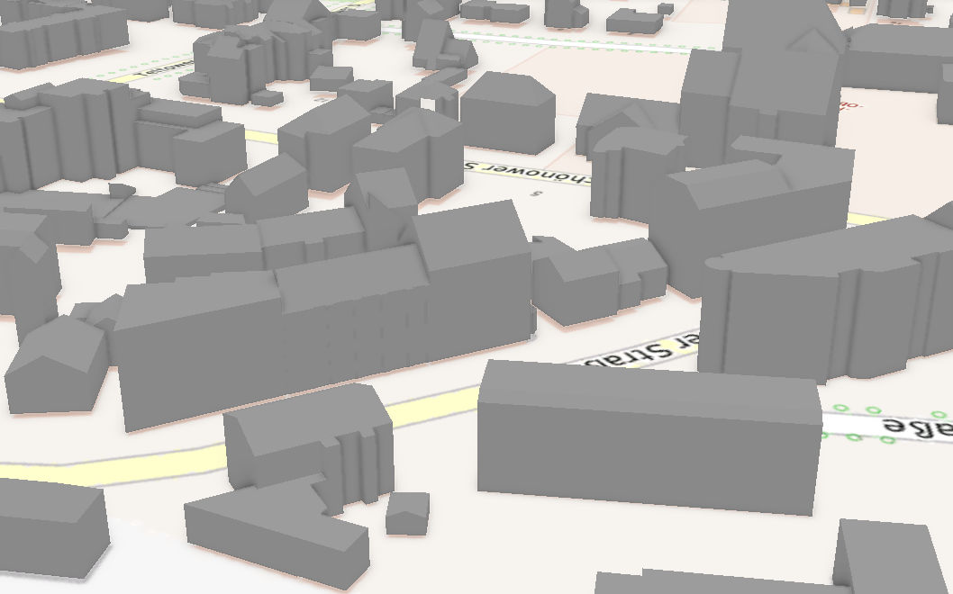
3D-Gebäudemodelle LoD2 Deutschland (LoD2-DE)
About
Github
Barrierefreiheit
|
Datenschutz
|
Impressum
✕