Keyword
features
675 record(s)
Provided by
Type of resources
Available actions
Keywords
Contact for the resource
Update frequencies
Service types
-

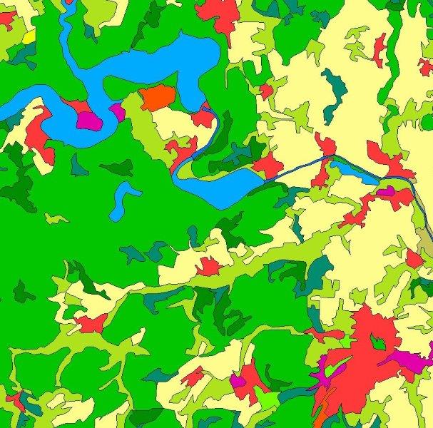
INSPIRE View Service for CORINE Land Cover – 5ha. This service provides from CORINE Land Cover 5ha (CLC5) transformed datasets for the INSPIRE theme Land Cover. The data provided through this service covers the area of Germany.
-

INSPIRE View Service for CORINE Land Cover – 5ha. This service provides from CORINE Land Cover 5ha (CLC5) transformed datasets for the INSPIRE theme Land Cover. The data provided through this service covers the area of Germany. Scale: 1:250000; Ground resolution: 500m
-

INSPIRE View Service for CORINE Land Cover – 5ha. This service provides from CORINE Land Cover 5ha (CLC5) transformed datasets for the INSPIRE theme Land Cover. The data provided through this service covers the area of Germany.
-
WMS Dienst Querbauwerke der Wasserwirtschaftsverwaltung Rheinland-Pfalz:
-
WMS Dienst Hochwassergefahrenkarten der Wasserwirtschaftsverwaltung Rheinland-Pfalz:Aktueller Stand Nov. 2024, APSFR aus RWSEGGEOM
-
Karte der Grundwassermessstellen Rheinland-Pfalz:
-
Gesetzlich festgesetzte Überschwemmungsgebiete und Risikogebiete außerhalb von Überschwemmungsgebieten:
-
:Bebauungsplan 211a_b.1 VEP Gelände an der Pfarrer-Kraus-Straße
-
Trinkwasser- und Heilquellenschutzgebiete:
-
WMS-Dienst Wasserwirtschaftsverwaltung Rheinland-Pfalz. Rechtssichere Auskünfte erteilt nur die zuständige Struktur- und Genehmigungsdirektion.:
 www.geodatenkatalog.de (S3L)