Keyword
CLC
21 record(s)
Provided by
Type of resources
Available actions
Topics
Keywords
Contact for the resource
Update frequencies
Service types
-

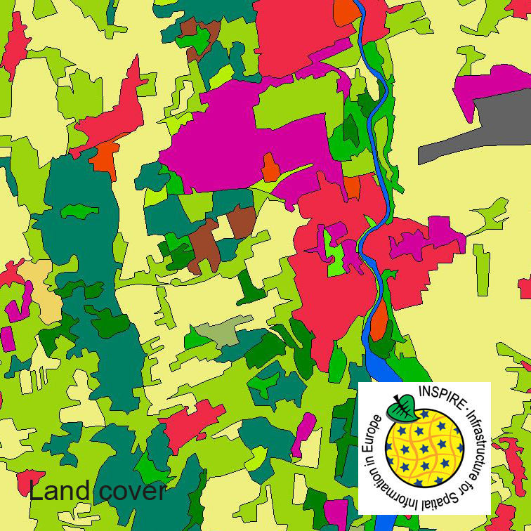
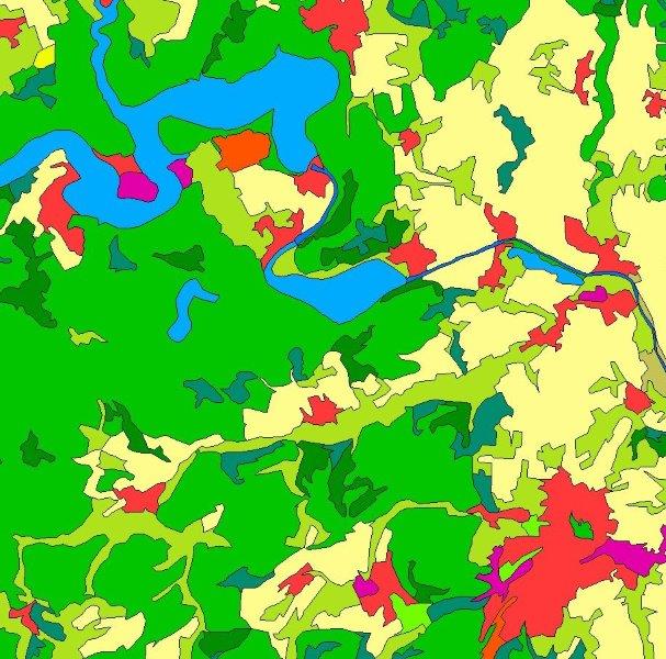
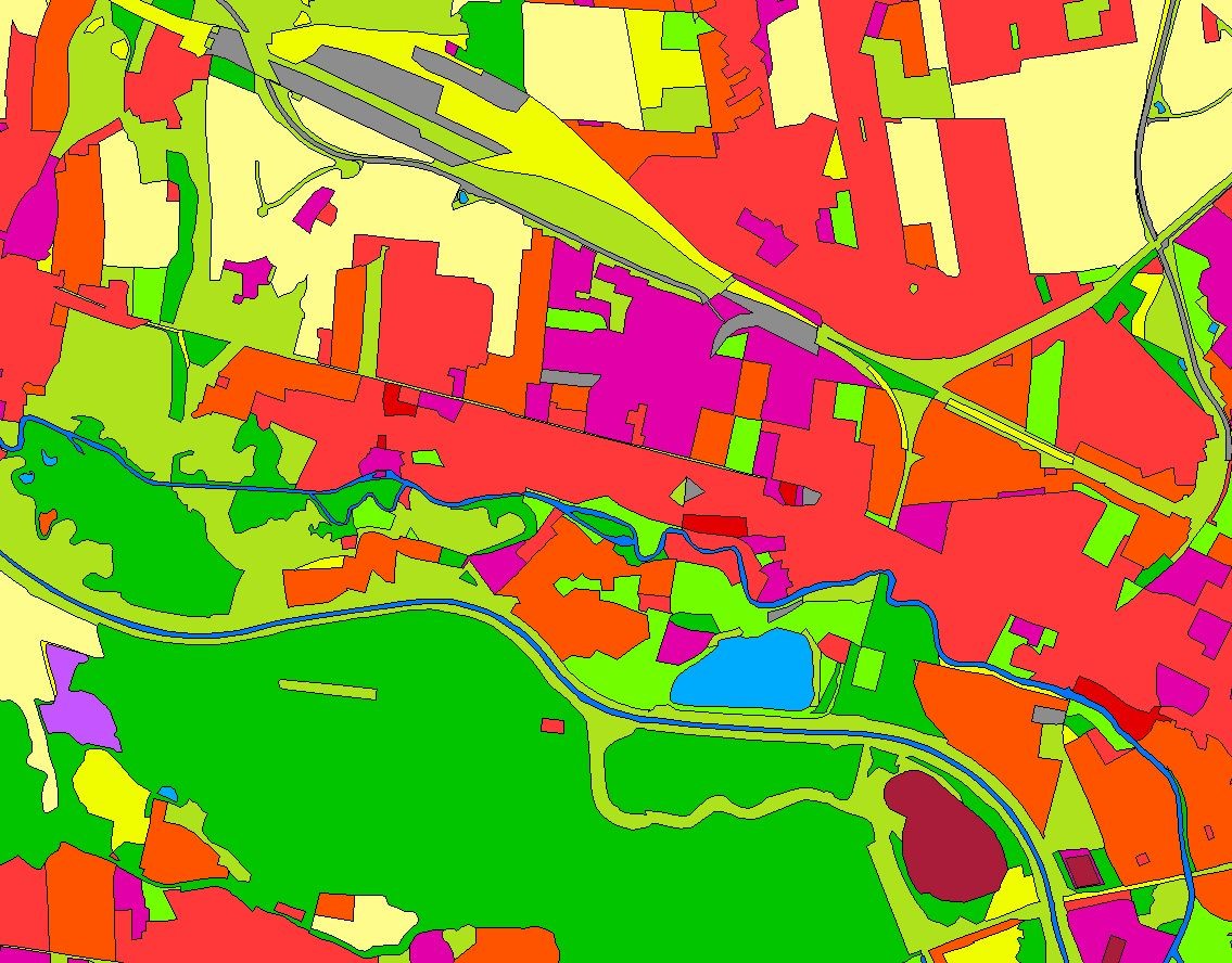
This serie clc5 describes the landscape according to the CORINE Land Cover (CLC) nomenclature. These classes contain mainly information about landcover mixed with some aspects of landuse. CLC5 is based on the more detailed German landcover model (LBM-DE) which uses separate classes for landcover and landuse and attribute-information about percentage of vegetation and sealing. The mimimum unit for an object is 1 ha. For the CLC5 dataset landcover and landuse classes are combined to unique CLC-classes taking into account the percentage of vegetation and sealing, followed by a generalisation process.
-

INSPIRE View Service for CORINE Land Cover – 5ha. This service provides from CORINE Land Cover 5ha (CLC5) transformed datasets for the INSPIRE theme Land Cover. The data provided through this service covers the area of Germany.
-

This dataset clc5 (2015) describes the landscape according to the CORINE Land Cover (CLC) nomenclature. These classes contain mainly information about landcover mixed with some aspects of landuse. CLC5 is based on the more detailed German landcover model from 2015 (LBM-DE2015) which uses separate classes for landcover and landuse and attribute-information about percentage of vegetation and sealing. The mimimum unit for an object is 1 ha. For the CLC5 dataset landcover and landuse classes are combined to unique CLC-classes taking into account the percentage of vegetation and sealing , followed by a generalisation process.
-

INSPIRE View Service for CORINE Land Cover – 5ha. This service provides from CORINE Land Cover 5ha (CLC5) transformed datasets for the INSPIRE theme Land Cover. The data provided through this service covers the area of Germany. Scale: 1:250000; Ground resolution: 500m
-

This dataset clc5 (2018) describes the landscape according to the CORINE Land Cover (CLC) nomenclature. These classes contain mainly information about landcover mixed with some aspects of landuse. CLC5 is based on the more detailed German landcover model from 2018 (LBM-DE2018) which uses separate classes for landcover and landuse and attribute-information about percentage of vegetation and sealing. The mimimum unit for an object is 1 ha. For the CLC5 dataset landcover and landuse classes are combined to unique CLC-classes taking into account the percentage of vegetation and sealing , followed by a generalisation process.
-

This dataset clc5 (2012) describes the landscape according to the CORINE Land Cover (CLC) nomenclature. These classes contain mainly information about landcover mixed with some aspects of landuse. CLC5 is based on the more detailed German landcover model from 2012 (LBM-DE2012) which uses separate classes for landcover and landuse and attribute-information about percentage of vegetation and sealing. The mimimum unit for an object is 1 ha. For the CLC5 dataset landcover and landuse classes are combined to unique CLC-classes taking into account the percentage of vegetation and sealing , followed by a generalisation process.
-

INSPIRE View Service for CORINE Land Cover – 5ha. This service provides from CORINE Land Cover 5ha (CLC5) transformed datasets for the INSPIRE theme Land Cover. The data provided through this service covers the area of Germany.
-

Das Landbedeckungsmodell Deutschland (LBM-DE) besitzt eine detaillierte Gliederung in Landbedeckung (LB) und Landnutzung (LN) bei einer Mindestkartierfläche von 1ha. Aus den Kombinationen von LB und LN werden eindeutige CORINE LandCover-Klassen abgeleitet ("CLC").
-
Der Datensatz CLC5 (2015) stellt eine Beschreibung der Landschaft im Vektorformat gemäß der Nomenklatur von CORINE Land Cover (CLC) der Europäischen Umweltagentur dar, welche einerseits die Landbedeckung wiederspiegeln, andererseits auch Aspekte der Landnutzung beinhalten. Grundlage für CLC5 (2015) ist das Landbedeckungsmodell Deutschland 2015 (LBM-DE2015) und 2018 (LBM-DE2018) mit seiner detaillierten Gliederung in Landbedeckung (LB) und Landnutzung (LN) sowie Angaben zum Versiegelungs- (SIE) und Vegetationsanteil (VEG) bei einer Mindestobjektgröße von 1 ha. Aus den Kombinationen von LB und LN werden unter Berücksichtigung von SIE und VEG eindeutige CLC-Klassen abgeleitet („CLC15“). Diese Daten werden für CLC5 (2015) anschließend auf eine Mindestflächengröße von 5ha generalisiert.
-
Der Datensatz CLC5 (2012) stellt eine Beschreibung der Landschaft im Vektorformat gemäß der Nomenklatur von CORINE Land Cover (CLC) der Europäischen Umweltagentur dar, welche einerseits die Landbedeckung wiederspiegeln, andererseits auch Aspekte der Landnutzung beinhalten. Grundlage für CLC5 (2012) ist das Landbedeckungsmodell Deutschland 2012 (LBM-DE2012) und 2015 (LBM-DE2015) mit seiner detaillierten Gliederung in Landbedeckung (LB) und Landnutzung (LN) sowie Angaben zum Versiegelungs- (SIE) und Vegetationsanteil (VEG) bei einer Mindestobjektgröße von 1 ha. Aus den Kombinationen von LB und LN werden unter Berücksichtigung von SIE und VEG eindeutige CLC-Klassen abgeleitet („CLC12“). Diese Daten werden für CLC5 (2012) anschließend auf eine Mindestflächengröße von 5ha generalisiert.
 www.geodatenkatalog.de (S1L)