www.geodatenkatalog.de (S1L)
Search
Map
Sign in
Keyword
Infrastructure for spatial information in Europe
15 record(s)
Provided by
Hessen
(1)
BKG-InGrid
(13)
Bremen
(1)
Type of resources
Service
(12)
service-view
(9)
service-download
(3)
Dataset
(2)
application
(1)
Available actions
Viewable
(9)
Topics
Imagery base maps earth cover
(1)
Planning cadastre
(1)
Keywords
Infrastructure for spatial information in Europe
(15)
digital land model
(2)
relief (land)
(2)
bridge
(1)
sluice
(1)
excavation side
(1)
railway
(1)
opencast mining
(1)
river
(1)
heathland
(1)
glacier
(1)
ditch
(1)
church
(1)
moss
(1)
monument
(1)
Update frequencies
Annually
(6)
As needed
(2)
Irregular
(1)
Biannually
(1)
Monthly
(1)
Service types
view
(9)
Download
(3)
From
1
-
10
/
15
WFS KFZ Kennzeichen 1:250 000
AdV MetadatenInformationsSystem
WMS Behördenzuständigkeitsbereiche Open
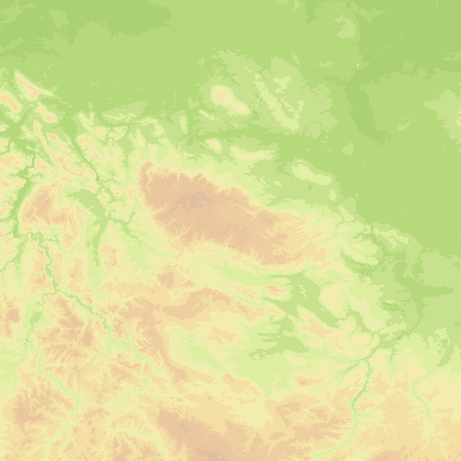
WMS Digitales Geländemodell Gitterweite 5 m
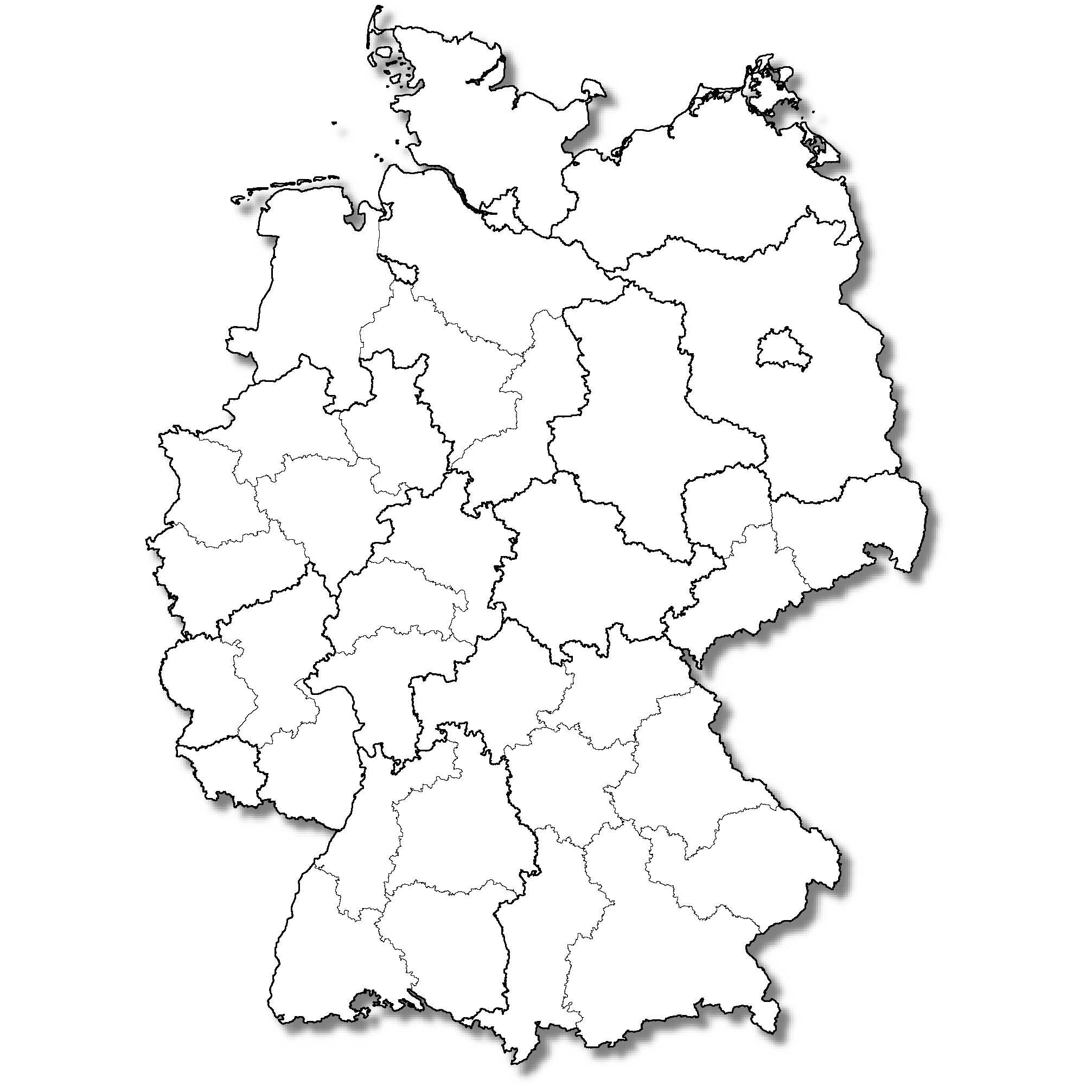
WMS NUTS-Gebiete 1:5 000 000, Stand 31.12.
WMS NUTS-Gebiete 1:250 000, Stand 31.12.
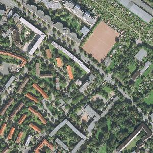
WMTS Digitale Orthophotos - Bodenauflösung 20 cm
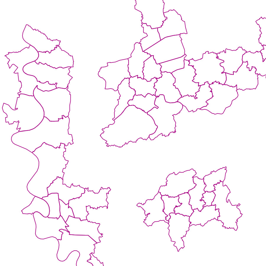
WFS Kommunale Teilgebiete 1:25 000
WMS Digitale Orthophotos - Bodenauflösung 20 cm
WMS Digitale Topographische Karte 1:100 000
About
Github
Barrierefreiheit
|
Datenschutz
|
Impressum
✕