 My GeoNetwork catalogue
agriculture
Provided by
Type of resources
Available actions
Topics
Keywords
Update frequencies
Service types
-
-
-
-
-

-

The size and the spatial variability of the reported methane emissions from the agricultural sector are presented for the federal states and the districts of Germany. The figure given is the sum of all emissions in the agriculture sector for the whole year. The agricultural sector is defined as the sum of the GNFR (Gridded Nomenclature For Reporting) sectors (Agricultural_Livestock, Agricultural_Other, Off_Road). Future improvements can be expected from future developments and refinements of the methods.
-

-
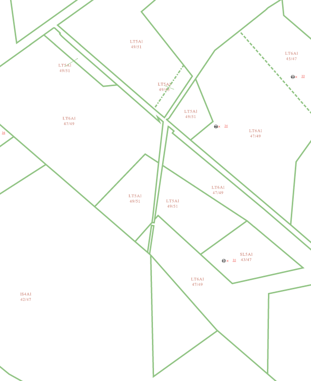
Der Datensatz enthält Teilflächen der InVeKoS-Antragsdaten ausThüringen, die in das INSPIRE-Datenmodell "Geospatial application" (GSA) transformiert wurden. Die Landwirtschaftliche Parzelle besteht aus einer zusammenhängenden, landwirtschaftlich genutzten Fläche, die von einem Erzeuger bewirtschaftet wird und mit einer Fruchtart bestellt bzw. ganz stillgelegt ist inklusive ihrer Landschaftselemente. Eine landwirtschaftliche Parzelle meint eine von den Mitgliedstaaten festgelegte Einheit der landwirtschaftlichen Fläche, die gemäß Artikel 4 Absatz 3 der Verordnung (EU) 2021/2115 definiert ist. Im InVeKoS-Antrag gibt der Antragsteller in seinen georäumlichen Antrag (GSA) die Teilflächen der Landwirtschaftlichen Parzelle an. Diese Teilflächen innerhalb der Landesfläche Thüringens sind Bestandteil des Datensatzes. Die Kulturart wurde in eine Kulturartengruppen der bundeseinheitlichen InVeKoS-Nutzcode-Liste (InVeKoS-NC-Liste) übersetzt. Diese Liste enthält die in Deutschland geförderten Kulturarten im Rahmen der flächenbezogenen EU-Agrarförderung und gibt einen Überblick über die im InVeKoS verwendeten Codes zur Bodennutzung (Nutzcodes, NC) in den einzelnen Bundesländern, zwischen denen diese Liste abgestimmt ist. Die geodatenbezogenen Förderanträge werden im Rahmen der Gemeinsamen Agrarpolitik der EU erhoben und sind Bestandteil des Integrierten Verwaltungs- und Kontrollsystems (InVeKoS) von Thüringen. Die Polygone wurden anonymisiert. Die Daten haben den Stand der Hauptzahlung des Antragsjahres 2023.
-
Der Datensatz enthält Teilflächen der InVeKoS-Antragsdaten ausThüringen, die in das INSPIRE-Datenmodell "Geospatial application" (GSA) transformiert wurden. Die Landwirtschaftliche Parzelle besteht aus einer zusammenhängenden, landwirtschaftlich genutzten Fläche, die von einem Erzeuger bewirtschaftet wird und mit einer Fruchtart bestellt bzw. ganz stillgelegt ist inklusive ihrer Landschaftselemente. Eine landwirtschaftliche Parzelle meint eine von den Mitgliedstaaten festgelegte Einheit der landwirtschaftlichen Fläche, die gemäß Artikel 4 Absatz 3 der Verordnung (EU) 2021/2115 definiert ist. Im InVeKoS-Antrag gibt der Antragsteller in seinen georäumlichen Antrag (GSA) die Teilflächen der Landwirtschaftlichen Parzelle an. Diese Teilflächen innerhalb der Landesfläche Thüringens sind Bestandteil des Datensatzes. Die Kulturart wurde in eine Kulturartengruppen der bundeseinheitlichen InVeKoS-Nutzcode-Liste (InVeKoS-NC-Liste) übersetzt. Diese Liste enthält die in Deutschland geförderten Kulturarten im Rahmen der flächenbezogenen EU-Agrarförderung und gibt einen Überblick über die im InVeKoS verwendeten Codes zur Bodennutzung (Nutzcodes, NC) in den einzelnen Bundesländern, zwischen denen diese Liste abgestimmt ist. Die geodatenbezogenen Förderanträge werden im Rahmen der Gemeinsamen Agrarpolitik der EU erhoben und sind Bestandteil des Integrierten Verwaltungs- und Kontrollsystems (InVeKoS) von Thüringen. Die Polygone wurden anonymisiert. Die Daten haben den Stand der Hauptzahlung des Antragsjahres 2024.
-
Der Datensatz „INSPIRE BW Bodennutzung Flächeninformation und Online-Antrag FIONA“ stellt die Bodennutzung von landwirtschaftlich genutzten Flächen dar. Die Polygone zeigen die Grenzen einer, im Rahmen des Gemeinsamen Antrages 2022, gemeldeten Nutzung. Die Daten werden im Rahmen der Gemeinsamen Agrarpolitik der EU erhoben und sind Bestandteil des Verwaltungssystems von Baden-Württemberg. Ein Polygon liegt nur dann vor, wenn die landwirtschaftliche Fläche im Gemeinsamen Antrag beantragt worden ist. Die Polygone wurden anonymisiert.