Keyword
Geographical Names
57 record(s)
Provided by
Type of resources
Available actions
Topics
Keywords
Contact for the resource
Update frequencies
Service types
-

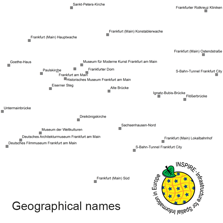
INSPIRE View Service for geographical names of municipalities or parts thereof, landscapes, mountain ranges, mountains, islands, rivers, canals, lakes, seas, etc. Data is provided for the Federal Republic of Germany. The dataset is structured according to the INSPIRE Annex I Theme - Geographical Names. The selection of the geographical names is based on the map scale 1 : 250 000 and is derived from different statistical sources, Digital Landscape Models 1 : 250 000 (DLM250) and Digital Elevation Model grid width 10 m (DGM10). This service is published under the Ordinance to Determine the Conditions for Use for the Provision of Spatial Data of the Federation (GeoNutzV) and thereof free of charge.
-

INSPIRE Direct Access Download Service for geographical names of municipalities or parts thereof, landscapes, mountain ranges, mountains, islands, rivers, canals, lakes, seas, etc. Data is provided for the Federal Republic of Germany. The dataset is structured according to the INSPIRE Annex I Theme - Geographical Names. The selection of the geographical names is based on the map scale 1:250.000 and is derived from different statistical sources, Digital Landscape Models 1:250.000 (DLM250) and Digital Elevation Model grid width 10 m (DGM10). This service is published under the Ordinance to Determine the Conditions for Use for the Provision of Spatial Data of the Federation (GeoNutzV) and thereof free of charge.
-

Geographical names of regions and bottom structures in the German coastal waters of the North Sea and Baltic Sea based on nautical charts of the Federal Maritime and Hydrographic Agency and composition by the Permanent Committee on Geographical Names (StAGN)
-

Geographical names of regions and bottom structures in the German coastal waters of the North Sea and Baltic Sea based on nautical charts of the Federal Maritime and Hydrographic Agency and composition by the Permanent Committee on Geographical Names (StAGN)
-

Geographical names of regions and bottom structures in the German coastal waters of the North Sea and Baltic Sea based on nautical charts of the Federal Maritime and Hydrographic Agency and composition by the Permanent Committee on Geographical Names (StAGN)
-

Geographical names of regions and bottom structures in the German coastal waters of the North Sea and Baltic Sea based on nautical charts of the Federal Maritime and Hydrographic Agency and composition by the Permanent Committee on Geographical Names (StAGN)
-
Darstellungsdienst (WMS) der Geografischen Bezeichnungen aus ALKIS RP:Darstellungsdienst (WMS) der Geografischen Bezeichnungen aus ALKIS RP
-
Darstellungsdienst (WMS) der Geografischen Bezeichnungen aus ATKIS-BasisDLM RP:Darstellungsdienst (WMS) der Geografischen Bezeichnungen aus ATKIS-BasisDLM RP
-

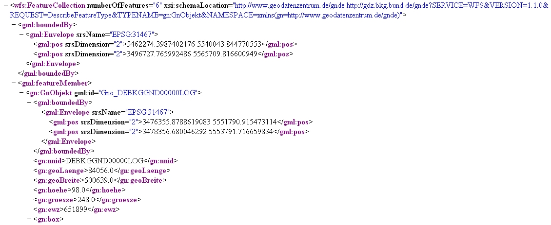
Dieser Downloaddienst dient zur Suche Geographischer Namen Deutschlands in einfacher Datenmodellierung. Der Datensatz GN-DE beinhaltet im Wesentlichen alle mit Namen bezeichneten geographischen Objekte Deutschlands, die in dem Digitalen Landschaftsmodell 1:250 000 des ATKIS enthalten sind bzw. in topographischen Karten des Maßstabsbereichs 1:200 000 und kleiner dargestellt werden. Hauptobjekte sind Orte und Ortsteile, Verwaltungsgebiete (z.B. Kreise, Gemeinden), Landschaften, Gebirge, Inseln, Berge, Flüsse, Kanäle, Seen, Meere und ähnliches. Die dazugehörigen Attribute sind Namen, administrative Gliederung (statistische Schlüsselzahl), Höhe, Flusssystem (gewässerkundliche Gebietskennzahl) und naturräumliche Haupteinheit (Leitzahl). Informationen zu den Postleitzahlgebieten liegen ohne Flächenbeschreibungen vor. Die Lage der Objekte wird jeweils als Punktgeometrie über eine einzelne Koordinate und über kleinste umschreibende Rechtecke (Bounding Boxes) beschrieben. Der Dienst wird ausschließlich Bundesbehörden zur Verfügung gestellt.
-
Darstellungsdienst (WMS) der Geografischen Bezeichnungen aus ATKIS-DLM50 RP:Darstellungsdienst (WMS) der Geografischen Bezeichnungen aus ATKIS-DLM50 RP
 www.geodatenkatalog.de (S3L)