 My GeoNetwork catalogue
CSW
Provided by
Type of resources
Topics
Keywords
Contact for the resource
Update frequencies
Service types
-
Geodatenkatalog des Landkreis Diepholz
-

GeoMIS 2.0 - official Discovery Service (CSW) for the GDI-Th
-

This metadata set describes the CSW interface of the metadata catalogue of the spatial data infrastructure of the Federal Maritime and Hydrographic Agency (GDI-BSH).
-
Hier sind Metadaten (19115/19119) für die MSRL bereitgestellt.
-
This metadata set describes the CSW interface of the metadata catalogue of the spatial data infrastructure of the Federal Maritime and Hydrographic Agency (GDI-BSH).
-
Stadt Dorsten: Metadaten für CSW
-
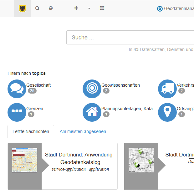
Katalog der öffentlich zugänglichen Geodaten der Stadt Dortmund
-
Zugangspunkt zu den Metadaten des Bundesamtes für Kartographie und Geodäsie (BKG).
-
Der Metadatenkatalog der Stadt Wolfsburg stellt die Metadaten zu den öffentlichen Geodaten und -diensten der Stadt Wolfsburg bereit.
-
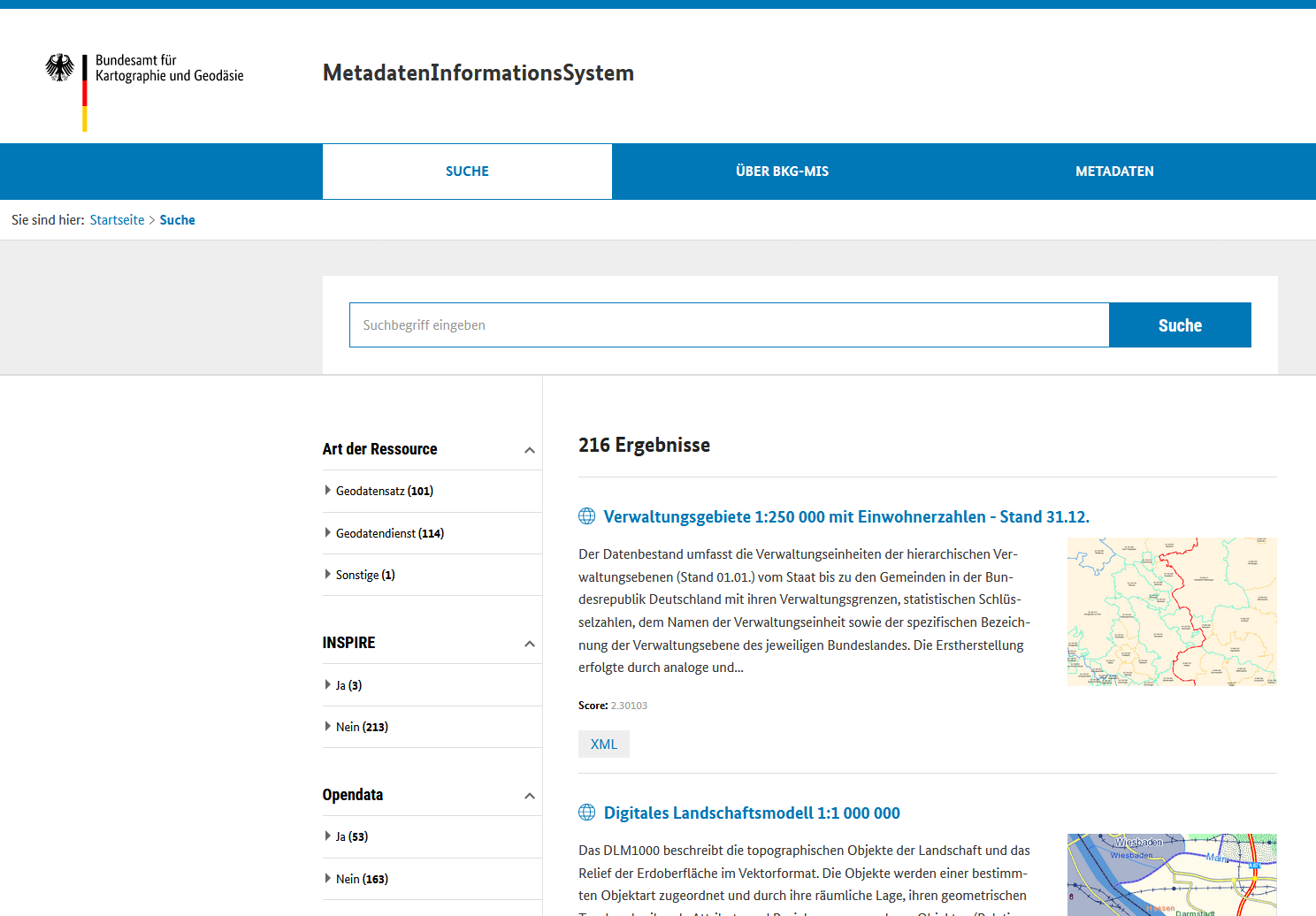
Dieser Katalogdienst (CSW-Schnittstelle) ermöglicht den gezielten Zugriff auf die Metadatensätze im AdV MetadatenInformationsSystem (AdV-MIS). Das AdV-MIS gibt einen Überblick über die digitalen Geodaten und Geodaten-Dienste der AdV-Mitgliedsverwaltungen auf der Grundlage ihrer standardisierten Beschreibungen (Metadaten).