www.geodatenkatalog.de (S2L)
Search
Map
Sign in
Keyword
vegetation
15 record(s)
Provided by
DWD_W1
(1)
BKG Ingrid_W1
(14)
Type of resources
Service
(8)
Dataset
(8)
service-view
(7)
service-ERDDAP tabledap
(1)
service-OPeNDAP
(1)
service-ERDDAP Subset
(1)
Available actions
Viewable
(13)
Topics
Imagery base maps earth cover
(6)
Transportation
(3)
Location
(3)
Inland waters
(3)
Boundaries
(3)
Environment
(2)
Structure
(2)
Planning cadastre
(2)
Geoscientific information
(1)
Farming
(1)
Keywords
vegetation
(15)
traffic
(10)
water (geographic)
(10)
human settlement
(10)
Imagery base maps earth cover
(6)
land cover
(5)
soil surface sealing
(4)
Transportation
(3)
Location
(3)
Inland waters
(3)
Boundaries
(3)
Environment
(2)
Structure
(2)
Planning cadastre
(2)
air_temperature
(1)
Contact for the resource
NOAA/PMEL
(1)
Update frequencies
Continual
(4)
Not planned
(4)
Biannually
(4)
As needed
(1)
Quarterly
(1)
Service types
view
(7)
ERDDAP tabledap
(1)
OPeNDAP
(1)
ERDDAP Subset
(1)
From
1
-
10
/
15
WMS DE BASEMAP.DE WEB RASTER
WMTS DE BASEMAP.DE WEB RASTER
WMS Digitale Topographische Karte 1:250 000
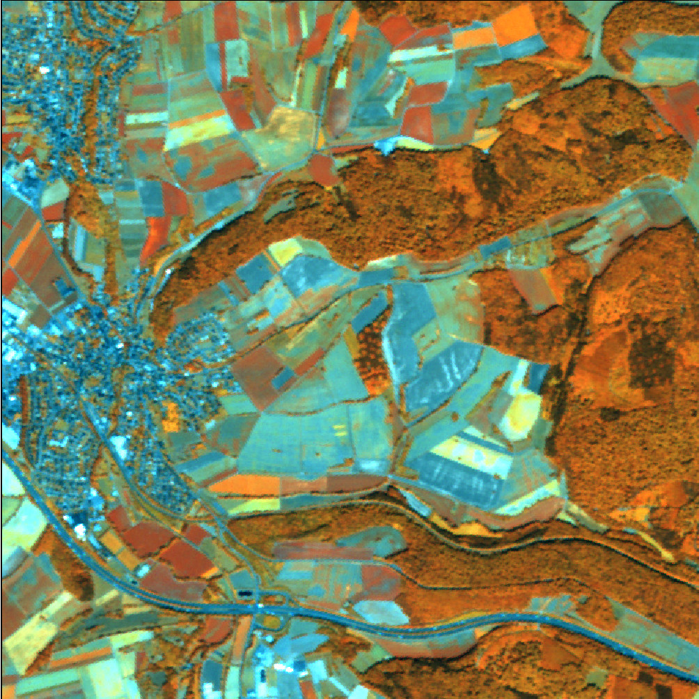
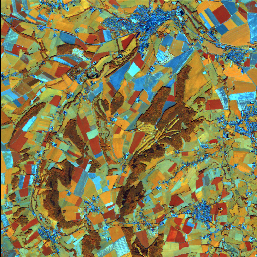
RapidEye Satellitenbilddaten 2017
RapidEye Satellitenbilddaten 2015
WMS WebAtlasDE
RapidEye Satellitenbilddaten 2012
RapidEye Satellitenbilddaten 2009
WMS WebAtlasDE Graustufen
WMS WebAtlasDE.light
About
Github
Barrierefreiheit
|
Datenschutz
|
Impressum
✕