 My GeoNetwork catalogue
Europa
Provided by
Type of resources
Available actions
Topics
Keywords
Contact for the resource
Update frequencies
Service types
-
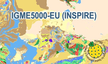
The IGME5000-EU (INSPIRE) represents the pre-quaternary bedrock geology (onshore and offshore) of the European map on a scale of 1:5,000,000. According to the Data Specification on Geology (D2.8.II.4_v3.0) the content of the geological map is stored in two INSPIRE-compliant GML files: IGME5000-EU_GeologicUnit.gml contains the geologic units and IGME5000-EU_GeologicStructure.gml comprises the faults. The GML files together with a Readme.txt file are provided in ZIP format (IGME5000-EU-INSPIRE.zip). The Readme.text file (German/English) contains detailed information on the GML files content. Data transformation was proceeded by using the INSPIRE Solution Pack for FME according to the INSPIRE requirements.
-
Radarbilder PC des operationellen DWD-Radarverbundes - Radar images PL from the operational DWD radar composite
-
Radarbilder PC des operationellen DWD-Radarverbundes - Radar images PL from the operational DWD radar composite
-
Radarbilder PC des operationellen DWD-Radarverbundes - Radar images PC from the operational DWD radar composite
-
Horizontale Echoverteilung
-
Deutschland Ausschnitt
-
Radarbilder PM des operationellen DWD-Radarverbundes - Radar images PM from the operational DWD radar composite
-
Radarbilder RX (Radardaten ohne Korrektur) des operationellen DWD-Radarverbundes - Radar images RX (Radardata without scaling)from the operational DWD radar composite
-
Radarkomposit PM des operationellen DWD-Radarverbundes - Radar images PM from the operational DWD radar composite
-
Radarbilder RX (Radardaten ohne Korrektur) des operationellen DWD-Radarverbundes - Radar images RX (Radardata without scaling)from the operational DWD radar composite