 My GeoNetwork catalogue
Berlin
Provided by
Type of resources
Available actions
Topics
Keywords
Contact for the resource
Update frequencies
Service types
-
Radarprodukt PL mit horizontalen/vertikalen Seitenaufrissen - PL radar images with horizontal/vertical side elevation
-
Radarprodukt PL mit horizontalen/vertikalen Seitenaufrissen - PL radar images with horizontal/vertical side elevation
-
Radarkomposit RX (Radardaten ohne Korrektur) des operationellen DWD-Radarverbundes - Radardata RX (Radardata without scaling) from the operational DWD radar composite
-
Radarkomposit RX (Radardaten ohne Korrektur) des operationellen DWD-Radarverbundes - Radardata RX (Radardata without scaling) from the operational DWD radar composite
-
Radarkomposit RX (Radardaten ohne Korrektur) des operationellen DWD-Radarverbundes - Radardata RX (Radardata without scaling) from the operational DWD radar composite
-
Radarkomposit RX (Radardaten ohne Korrektur) des operationellen DWD-Radarverbundes - Radardata RX (Radardata without scaling) from the operational DWD radar composite
-
7 Tage Vorhersage. Wind, Temperatur, Niederschlag, Schneehöhe, Bodendruck und Bedeckung - 7 days forecast. Wind, temperature, precipitation, depth of snow, air pressure and cloud cover
-
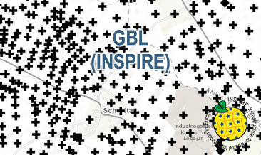
The GBL (INSPIRE) represents mechanically drilled boreholes approved by the State Geological Surveys of Germany (SGS). Most of the drilling data were not collected by the SGS, but were transmitted to SGS by third parties in accordance with legal requirements. Therefore, the SGS can accept no responsibility for the accuracy of the information. According to the Data Specification on Geology (D2.8.II.4_v3.0) the boreholes of each federal state are stored in one INSPIRE-compliant GML file. The GML file together with a Readme.txt file is provided in ZIP format (e.g. GBL-INSPIRE_Lower_Saxony.zip). The Readme.txt file (German/English) contains detailed information on the GML file content. Data transformation was proceeded by using the INSPIRE Solution Pack for FME according to the INSPIRE requirements.
-
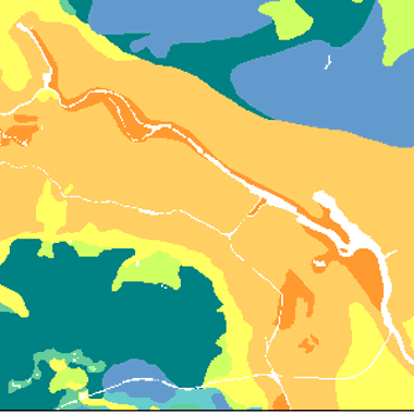
Verschmutzungsempfindlichkeit des Grundwassers auf der Basis einer Bewertung von Flurabstand und den geologischen Deckschichten, Bearbeitungsstand Dezember 2003.
-
Die Karte zeigt die Verschmutzungsempfindlichkeit des Grundwassers auf der Basis einer Bewertung von Flurabstand und den geologischen Deckschichten