www.geodatenkatalog.de (S3L)
Search
Map
Sign in
Keyword
land cover
29 record(s)
Provided by
BSH_W1
(2)
BW inspireidentifiziert dataset
(1)
BKG Ingrid_W1
(22)
BfG
(3)
BW komplett
(1)
Type of resources
Dataset
(22)
Service
(5)
service-download
(3)
service-view
(2)
Series
(1)
application
(1)
Available actions
Viewable
(17)
Topics
Imagery base maps earth cover
(16)
Planning cadastre
(3)
Oceans
(1)
Farming
(1)
Transportation
(1)
Location
(1)
Inland waters
(1)
Boundaries
(1)
Keywords
land cover
(24)
Imagery base maps earth cover
(16)
inspireidentifiziert
(6)
vegetation
(5)
opendata
(4)
land use
(4)
soil surface sealing
(4)
CLC
(4)
Landbedeckung
(4)
Landnutzung
(4)
Bodenbedeckung
(4)
LBM-DE
(4)
Planning cadastre
(3)
INSPIRE
(3)
BKG
(3)
Contact for the resource
Federal Agency for Cartography and Geodesy
(7)
The Federal Maritime and Hydrographic Agency (BSH)
(2)
Update frequencies
Continual
(11)
Not planned
(6)
Irregular
(1)
Annually
(1)
Quarterly
(1)
Service types
Download
(3)
view
(2)
From
1
-
10
/
29
WMS Landbedeckungsmodell für Deutschland 2018
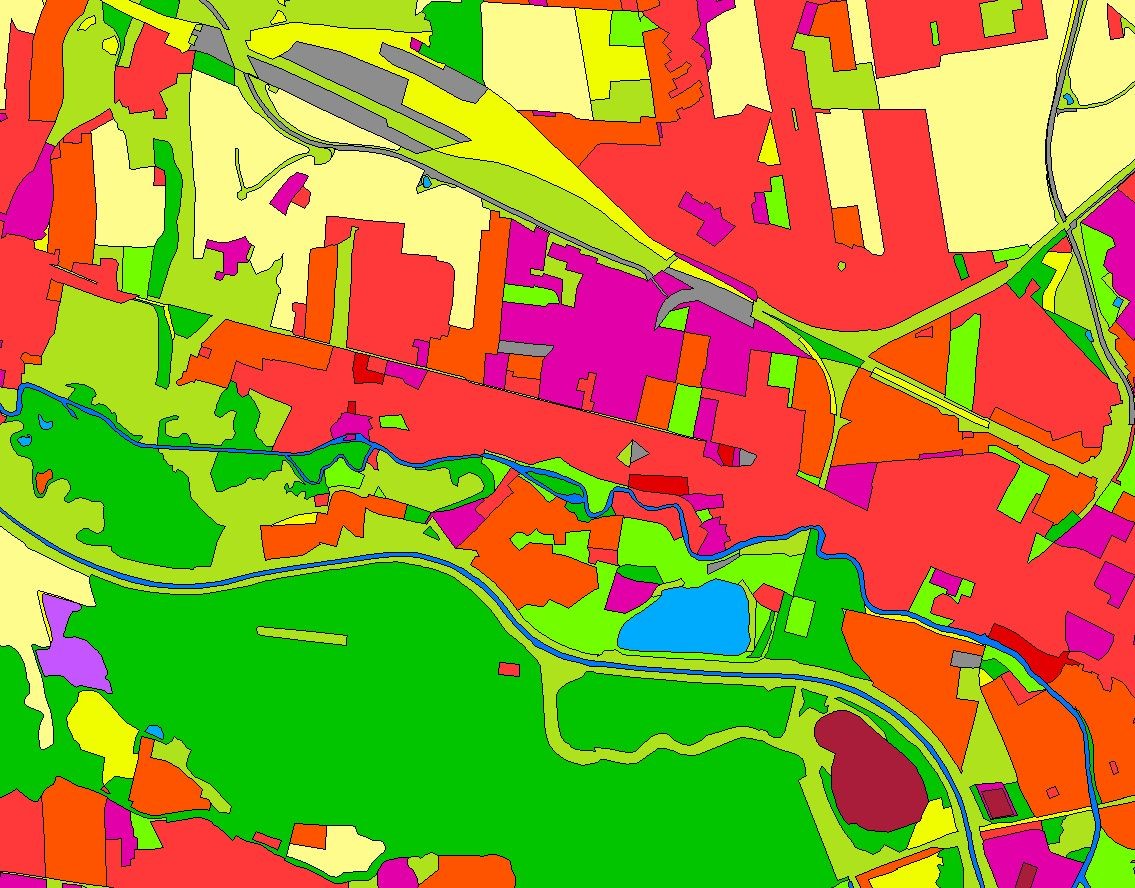
Landbedeckungsmodell für Deutschland (LBM-DE) 2015
Landbedeckungsmodell für Deutschland (LBM-DE) 2018
Landbedeckungsmodell für Deutschland (LBM-DE) 2012
CORINE Land Cover 2012 - 5 ha
CORINE Land Cover 2018 - 5 ha
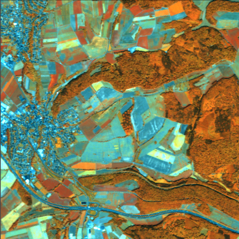
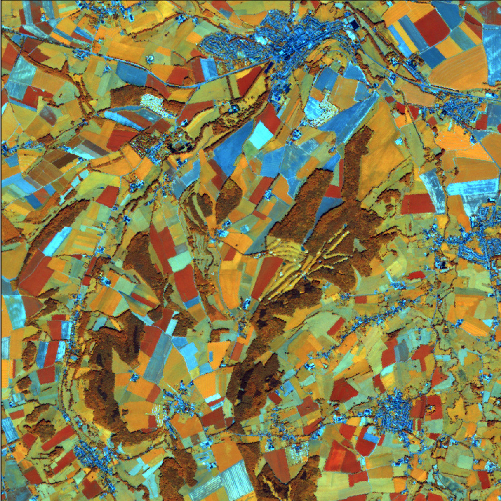
RapidEye Satellitenbilddaten 2012
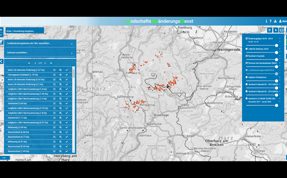
LaVerDi - Landschaftsveränderungsdienst - Web-Applikation
RapidEye Satellitenbilddaten 2017
RapidEye Satellitenbilddaten 2015
About
Github
Barrierefreiheit
|
Datenschutz
|
Impressum
✕