Keyword
infoFeatureAccessService
199165 record(s)
Provided by
Type of resources
Available actions
Keywords
Contact for the resource
Update frequencies
Service types
-
Das Thema zeigt psychosoziale Angebote unterteilt in vollstationär, teilstationär und ambulant im Landkreis Mecklenburgische Seenplatte.
-
Download service (ATOM feed)
-
Download service (WFS)
-

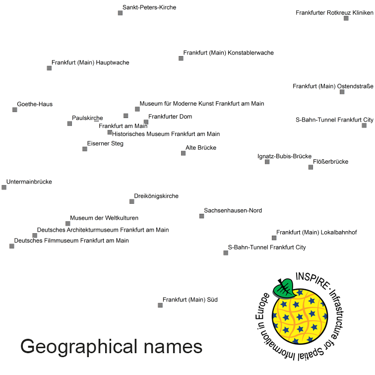
INSPIRE Direct Access Download Service for geographical names of municipalities or parts thereof, landscapes, mountain ranges, mountains, islands, rivers, canals, lakes, seas, etc. Data is provided for the Federal Republic of Germany. The dataset is structured according to the INSPIRE Annex I Theme - Geographical Names. The selection of the geographical names is based on the map scale 1:250.000 and is derived from different statistical sources, Digital Landscape Models 1:250.000 (DLM250) and Digital Elevation Model grid width 10 m (DGM10). This service is published under the Ordinance to Determine the Conditions for Use for the Provision of Spatial Data of the Federation (GeoNutzV) and thereof free of charge.
-
Standorte von Wärmeinseln und Leuchttürmen im Landkreis Mecklenburgische Seenplatte Als Wärmeinseln werden in diesem Zusammenhang Orte bezeichnet, an denen Bürger*Innen im Falle eines länger andauernden Ausfalls der Wärmeversorgung zeitlich begrenzt Zuflucht in einer beheizten Unterkunft finden können. Als Leuchttürme werden in diesem Zusammenhang Orte bezeichnet, an denen Bürger*Innen im Falle des Ausfalls des Fest- und Mobilfunknetzes, Notrufe absetzen können.
-
Dieser Dienst liefert die Blattschnitteinteilung des (historischen) Topographischen Atlas 1:50000 für das Großherzogtum Baden und das Königreich Württemberg mit den Attributen Blattnummer, Blattnamen sowie Ausgabejahr.
-

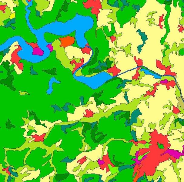
INSPIRE Direct Access Download Service for CORINE Land Cover – 5ha. This service provides from CORINE Land Cover 5ha (CLC5) transformed datasets for the INSPIRE theme Land Cover. The data provided through this service covers the area of Germany.
-
Die landesweite Erstfassung der Daten für die Berechnung des Digitalen Geländemodells (DGM) / Digitalen Oberflächenmodells (DOM) erfolgte in den Jahren 2000 bis 2005 über Laserscanbefliegung. Die Fortführung der Daten des DGM erfolgt seither partiell auf Datengrundlagen unterschiedlicher Erfassungmethoden. Dieser Dienst setzt sich aus fünf Ebenen zusammen. Die Ebene "ATKIS DGM Laserflüge ALS 1 (2000-2005)" zeigt die Laserfluggebiete der Erstfassung. Get FeatureInfo gibt Auskunft über Flugdatum, Punktdichte, Scanner, Scanwinkel und Flughöhe. Die Ebene "ATKIS DGM Fortführung aus Laserscanning-Daten (2009-2015)" zeigt die Fortführungsgebiete, die über Laserflüge erfasst wurden, die Ebene "ATKIS DGM Fortführung über sonstige Methoden (2011-2015)" Fortführungsgebiete, die mittels Terrestrisches Laserscanning, Bildflügen oder UAV durchgeführt wurden. Get FeatureInfo gibt jeweils Auskunft über Name des Erfassungsgebietes, -,datum, -methode, Losnummer sowie Fortführungsdatum des DGMs. Die Ebene "ATKIS DGM Bearbeitungsübersicht ALS 2 (2016-2021)" zeigt die Darstellung der verfügbaren DGM km² Kacheln aus der Laserscanbefliegung (Punktdichte 8 Punkte\m²) von 2016-2021 mit Flugdatum und die Ebene "ATKIS DGM Laserflüge ALS 2 (2016-2021)" zeigt die Darstellung der Losabgrenzungen der Laserbefliegung für die flächenhafte Aktualisierung von DGM und DOM aus durchgeführten Laserscanbefliegungen (Punktdichte 8 Punkte\m²) von 2016 bis 2021. Get FeatureInfo gibt jeweils Auskunft über Los, Flugdatum, Punktdichte, Scanner, Scanwinkel und Flughöhe. Es wird darauf hingewiesen, dass keine Rechtsverbindlichkeit für die gelieferten Daten besteht.
-

INSPIRE Direct Access Download Service for CORINE Land Cover – 5ha. This service provides from CORINE Land Cover 5ha (CLC5) transformed datasets for the INSPIRE theme Land Cover. The data provided through this service covers the area of Germany.
-

INSPIRE Direct Access Download Service for CORINE Land Cover – 5ha. This service provides from CORINE Land Cover 5ha (CLC5) transformed datasets for the INSPIRE theme Land Cover. The data provided through this service covers the area of Germany.
 www.geodatenkatalog.de (S1L)