Keyword
Inland waters
123 record(s)
Provided by
Type of resources
Available actions
Topics
Keywords
Contact for the resource
Update frequencies
-

-
This dataset contains all data, which have been used to write the linked paper. In addition, it contains all Python scripts used for the evaluation of the data.
-

-
This dataset provides a set of input data for each test case, as well as for the river engineering application used in Martin Utz's dissertation. The corresponding simulation results are also provided. Together with the settings described in the thesis and the software (https://git.iws.uni-stuttgart.de/dumux-pub/Utz2025b), this allows the simulations discussed in the dissertation to be reproduced.
-
The maps and data sets summarise climate change information resulting from an ensemble of 14 selected regional climate simulations (mainly based on EU-ENSEMBLES) for periods 2021 to 2050 and 2071 to 2100. The information are expressed as change of air temperature and precipitation with respect to the simulated present (1971-2000) averaged over meteorological seasons and 50km grid boxes. Based on the ensemble a high, central and low estimate of the possible future development is given.
-
This dataset contains all data, which have been used to write the linked paper. In addition, it contains all Python scripts used for the evaluation of the data. It should be noted that the Python module pynocular is used within the scripts. This module is not yet published, but it is planned for release via https://github.com/baw-de.
-

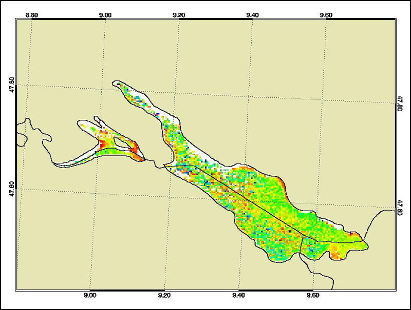
The Medium Resolution Imaging Spectrometer (MERIS) on Board ESA’s ENVISAT provides spectral high resolution image data in the visible-near infrared spectral region (412-900 nm) at a spatial resolution of 300 m. For more details on ENVISAT and MERIS see http://envisat.esa.int/ This product developed in the frame of the MAPP project (MERIS Application and Regional Products Projects) represents the chlorophyll concentration of Lake Constance derived from MERIS data. The product is a cooperative effort of DLR-DFD and the Institute for Coastal Research at the GKSS Research Centre Geesthacht. DFD pre-processed up to the value added level whenever MERIS data for the North Sea region was received and positively checked for a water area large enough for a suitable interpretation. For more details the reader is referred to http://wdc.dlr.de/sensors/meris/ and http://wdc.dlr.de/sensors/meris/documents/Mapp_ATBD_final_i3r0dez2001.pdf This product provides monthly maps.
-
-
-
 www.geodatenkatalog.de (S1L)