 My GeoNetwork catalogue
Hydrography
Provided by
Type of resources
Available actions
Topics
Keywords
Contact for the resource
Update frequencies
Service types
-
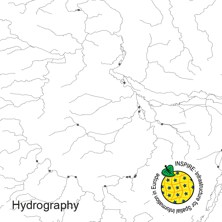
Hydrography of Germany, derived from the german digital landscape model at scale 1:250000. Mapped via EuroRegionalMap to satisfy INSPIRE and European Location Framework conformance. The dataset contains the hydrographic network and physical waters and is available as Open Data.
-

The present Single Beam Echosounder Data were recorded within the framework of the hydrographic survey of the Federal Maritime and Hydrographic Agency, but were not subjected to any further quality assurance or validation. Please note that these data sets are raw data.
-

The present Single Beam Echosounder Data were recorded within the framework of the hydrographic survey of the Federal Maritime and Hydrographic Agency, but were not subjected to any further quality assurance or validation. Please note that these data sets are raw data.
-

The present Single Beam Echosounder Data were recorded within the framework of the hydrographic survey of the Federal Maritime and Hydrographic Agency, but were not subjected to any further quality assurance or validation. Please note that these data sets are raw data.
-

The present Single Beam Echosounder Data were recorded within the framework of the hydrographic survey of the Federal Maritime and Hydrographic Agency, but were not subjected to any further quality assurance or validation. Please note that these data sets are raw data.
-

The present Single Beam Echosounder Data were recorded within the framework of the hydrographic survey of the Federal Maritime and Hydrographic Agency, but were not subjected to any further quality assurance or validation. Please note that these data sets are raw data.
-

The present Single Beam Echosounder Data were recorded within the framework of the hydrographic survey of the Federal Maritime and Hydrographic Agency, but were not subjected to any further quality assurance or validation. Please note that these data sets are raw data.
-

The present Single Beam Echosounder Data were recorded within the framework of the hydrographic survey of the Federal Maritime and Hydrographic Agency, but were not subjected to any further quality assurance or validation. Please note that these data sets are raw data.
-

The present Single Beam Echosounder Data were recorded within the framework of the hydrographic survey of the Federal Maritime and Hydrographic Agency, but were not subjected to any further quality assurance or validation. Please note that these data sets are raw data.
-

The present Single Beam Echosounder Data were recorded within the framework of the hydrographic survey of the Federal Maritime and Hydrographic Agency, but were not subjected to any further quality assurance or validation. Please note that these data sets are raw data.