 www.geodatenkatalog.de (S1L)
Keyword
ATKIS
602 record(s)
Provided by
Type of resources
Available actions
Keywords
Contact for the resource
Update frequencies
Service types
-
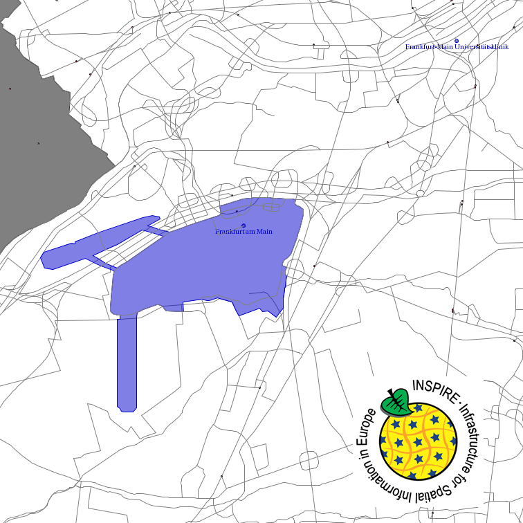
This service provides from ATKIS DLM250 transformed datasets for the INSPIRE themes Transport Networks, Hydrography (Networks and Physical Water), Administrative Units and Protected Sites. The data provided through this service covers the area of Germany.
-

This service provides from Digital Landscape Model 1:250 000 (ATKIS DLM250) transformed datasets for the INSPIRE themes Transport Networks, Hydrography (Networks and Physical Water), Administrative Units and Protected Sites. The data provided through this service covers the area of Germany.
-
Amtliches Topographisch-Kartographisches Informationssystem (ATKIS): Digitales Landschaftsmodell 1:25000; Basis-DLM25; räumliche Ausdehnung: LK Oldenburg
-
Digitales Landschaftsmodell:Digitales Landschaftsmodell
-
Amtliches Topographisch-Kartographisches Informationssystem (ATKIS): Digitales Landschaftsmodell 1:25000; Basis-DLM25; räumliche Ausdehnung: LK Nienburg
-
Digitales Landschaftsmodell:Liegenschaftskataster, AX_VorratsBehaelterspeicher Objekte
-
Amtliches Topographisch-Kartographisches Informationssystem: Digitales Landschaftsmodell 1:250000; DLM250 Landkreis Diepholz; räumliche Ausdehnung: LK Diepholz; Gebietsausdehnung 83X90 km
-
Digitales Landschaftsmodell:Liegenschaftskataster, ax_bauwerkoderanlagefuersportfreizeitunderholung Objekte
-
Amtliches Topographisch-Kartographisches Informationssystem (ATKIS): Digitales Landschaftsmodell 1:25000; Basis-DLM25; räumliche Ausdehnung: LK Vechta
-
Amtliches Topographisch-Kartographisches Informationssystem: Digitales Landschaftsmodell 1:1 000 000; DLM1000; räumliche Ausdehnung: LK Diepholz; Gebietsausdehnung 83X90 km