www.geodatenkatalog.de (S1L)
Search
Map
Sign in
Keyword
Imagery base maps earth cover
222 record(s)
Provided by
BKG
(52)
BSH
(37)
Hamburg
(1)
DLR
(64)
WSV
(2)
Hessen
(1)
Sachsen-Anhalt
(7)
BKG-InGrid
(36)
BfG
(1)
Bremen
(7)
Nordrhein-Westfalen
(13)
Baden-Württemberg
(1)
Type of resources
Dataset
(123)
Tile
(51)
Series
(46)
application
(2)
Available actions
Viewable
(64)
Downloadable
(5)
Topics
Imagery base maps earth cover
(222)
Environment
(82)
Inland waters
(68)
Farming
(64)
Boundaries
(64)
Transportation
(61)
Structure
(61)
Location
(61)
Utilities communication
(56)
Biota
(53)
Society
(52)
Geoscientific information
(51)
Elevation
(40)
Oceans
(38)
Planning cadastre
(20)
Economy
(11)
Climatology, meteorology, atmosphere
(1)
Keywords
Imagery base maps earth cover
(222)
Environment
(82)
Land cover
(76)
Inland waters
(68)
Farming
(64)
Boundaries
(64)
Transportation
(61)
Structure
(61)
Location
(61)
Utilities communication
(56)
Hydrography
(55)
Protected sites
(53)
Biota
(53)
Mineral resources
(52)
Population distribution — demography
(52)
Contact for the resource
German Aerospace Center (DLR)
(64)
Federal Maritime and Hydrographic Agency (BSH)
(37)
GAF AG
(16)
Stadt Hamm
(8)
DLR/EOC Land Surface Dynamics
(8)
Dataset is provided by France
(7)
Planet Labs, Inc.
(7)
German Space Agency at DLR
(6)
German Aerospace Center(DLR)
(6)
Federal Agency for Cartography and Geodesy
(5)
Airbus Defence & Space
(5)
German Federal Environmental Agency (UBA)
(5)
Dataset is provided by Italy
(2)
Dataset is provided by Spain
(2)
GDWS - Generaldirektion Wasserstraßen und Schifffahrt
(2)
Geodesy, Cartography and Cadastre Agency
(1)
National Institute of Geographic and Forest Information
(1)
Research Institute Geodesy and Cartography
(1)
Malta Planning Authority
(1)
Italian Military Geographic Institute
(1)
Surveying and Mapping Authority of the Republic of Slovenia
(1)
State Geodetic Administration of the Republic of Croatia
(1)
Estonian Land Board
(1)
Federal Office of Topography
(1)
The Swedish mapping, cadastral and land registration authority
(1)
Update frequencies
As needed
(64)
Continual
(39)
Not planned
(29)
Irregular
(8)
Biannually
(5)
Daily
(4)
Annually
(2)
Quarterly
(2)
Monthly
(1)
From
1
-
10
/
222
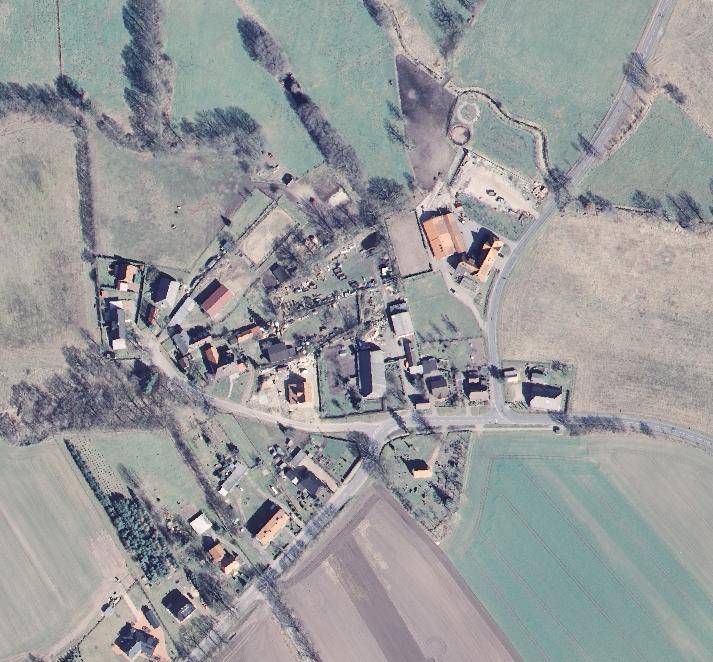
INSPIRE HE Orthofotografie qTrueDOP
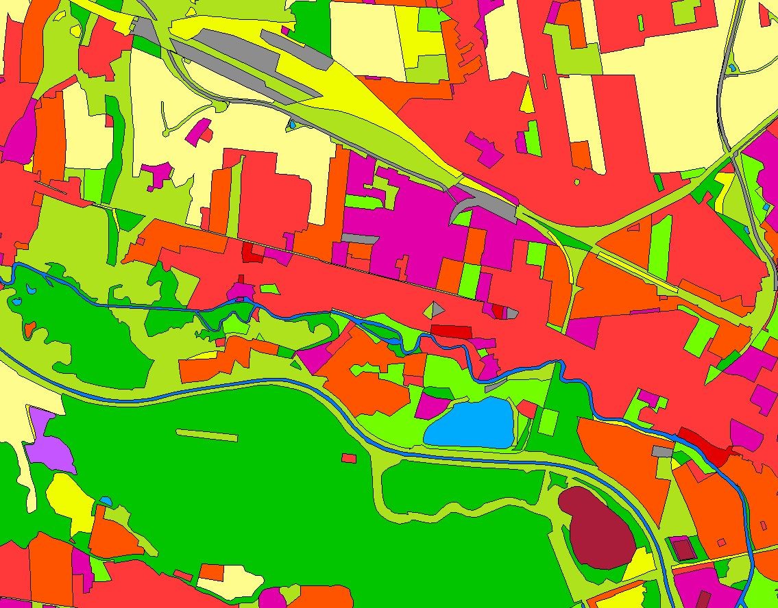
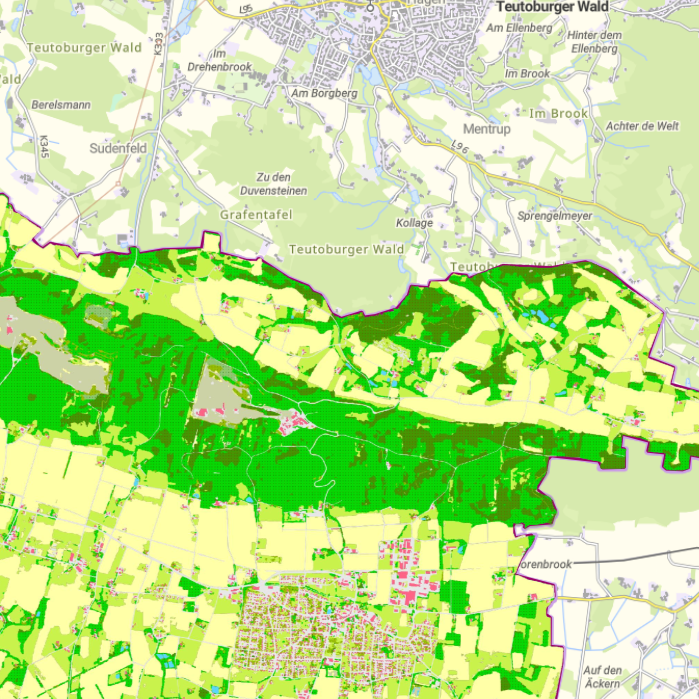
Landbedeckungsmodell für Deutschland (LBM-DE) 2021
Landbedeckungsmodell für Deutschland (LBM-DE) 2018
Landbedeckungsmodell für Deutschland (LBM-DE) 2012
Digitale Orthophotos Bodenauflösung 20 cm
Digitale Orthophotos Bodenauflösung 40 cm
Landbedeckungsmodell für Deutschland (LBM-DE) 2015
Panoramabilder der Straßenbefahrungen Krefeld
Kommunale Topographie Krefeld
CORINE Land Cover 2018 - 5 ha
About
Github
Barrierefreiheit
|
Datenschutz
|
Impressum
✕