 www.geodatenkatalog.de (S2F)
Keyword
Protected sites
544 record(s)
Provided by
Type of resources
Available actions
Topics
Keywords
Contact for the resource
Update frequencies
Service types
-
-- Customize this sample record to describe the Catalogue Service Web (CSW) service of your catalogue --. See https://docs.geonetwork-opensource.org/4.4/administrator-guide/configuring-the-catalog/csw-configuration/ Access datasets, maps and services from my organisation using the OGC CSW standards. This catalogue contains descriptions of GIS resources on the ... region produced and/or maintained by ....
-
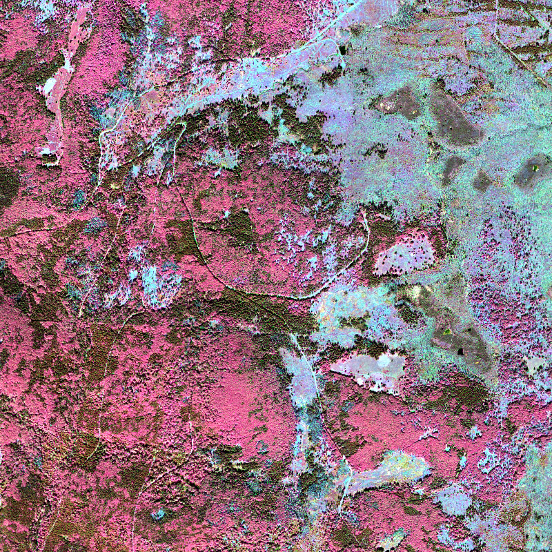
This collection contains airborne hyperspectral imagery acquired by the EOC user service OpAiRS. The data was recorded with the airborne DLR EnMAP simulator, which contains two HySpex cameras manufactured by the Norwegian Company NEO. The survey has been conducted within the scope of the “Data Pool Initiative for the Bohemian Forest Ecosystem”. It covers parts of the Bohemian forest, mainly the Bavarian Forest National Park. The data are made available as orthorectified ground reflectance. For more information concerning the airborne sensor system the reader is referred to: https://www.dlr.de/eoc/en/desktopdefault.aspx/tabid-11411/19998_read-46623/
-
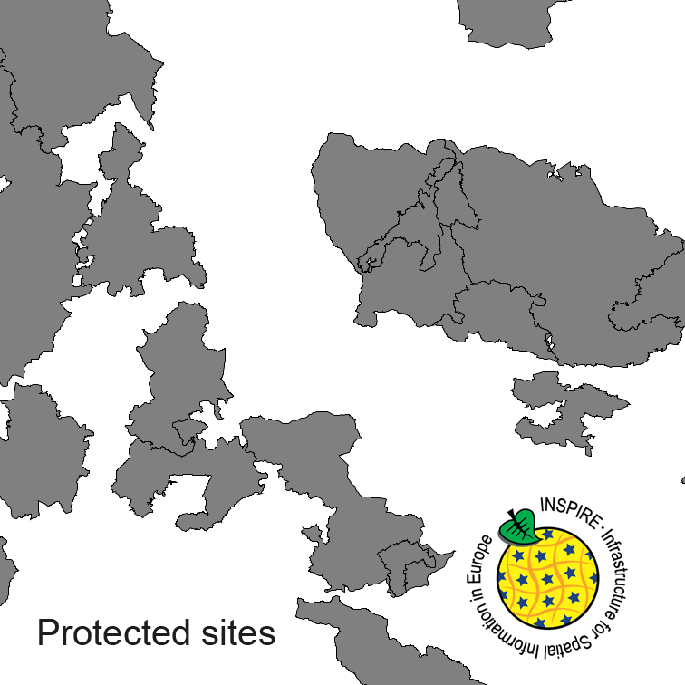
Protected Sites of Germany, derived from the german digital landscape model at scale 1:250000. Mapped via EuroRegionalMap to satisfy INSPIRE and European Location Framework conformance. The dataset is available as Open Data.
-
EuroRegionalMap country contribution provides a geographic database for topographic data that will be maintained at the source level by the National Mapping and Cadastral Agencies (NMCAs), and by providing harmonized access conditions within the framework of EuroGeographics.
-
EuroRegionalMap country contribution provides a geographic database for topographic data that will be maintained at the source level by the National Mapping and Cadastral Agencies (NMCAs), and by providing harmonized access conditions within the framework of EuroGeographics.
-
EuroRegionalMap country contribution provides a geographic database for topographic data that will be maintained at the source level by the National Mapping and Cadastral Agencies (NMCAs), and by providing harmonized access conditions within the framework of EuroGeographics.
-
EuroRegionalMap country contribution provides a geographic database for topographic data that will be maintained at the source level by the National Mapping and Cadastral Agencies (NMCAs), and by providing harmonized access conditions within the framework of EuroGeographics.
-
EuroRegionalMap country contribution provides a geographic database for topographic data that will be maintained at the source level by the National Mapping and Cadastral Agencies (NMCAs), and by providing harmonized access conditions within the framework of EuroGeographics.
-
EuroRegionalMap country contribution provides a geographic database for topographic data that will be maintained at the source level by the National Mapping and Cadastral Agencies (NMCAs), and by providing harmonized access conditions within the framework of EuroGeographics.
-
EuroRegionalMap country contribution provides a geographic database for topographic data that will be maintained at the source level by the National Mapping and Cadastral Agencies (NMCAs), and by providing harmonized access conditions within the framework of EuroGeographics.